Best Scenic Roadway in Arizona! Coronado Trail: The Devil's Highway
A Biker's Dream
Looking for a new adventure? Come to our lodging in Alpine, AZ and get to know one of the best scenic roadways. The 123 miles of pavement between Springerville and Clifton features 460 curves skirting the eastern edge of the Apache-Sitgreaves National Forests. This journey is known as The Devil’s Highway.
Over the years, U.S. 666 has sometimes been the object of controversy because “666” is the “number of the beast” (or Antichrist) in the Bible. Revelation 13:18 states: "Let him who has understanding calculate the number of the beast, for it is the number of a man: His number is 666."
This association is a result of gematria, a system of numerology that assigns a value to each letter of the alphabet. A word can, thus, be counted by adding the value of each letter. Through gematria, “666” is the biblical “number of the beast” because the letters comprising the name of the “beast” add up to 666. The identity of the “beast” is unclear, although the Roman Emperor Nero is a possibility.
The association with the “beast” earned U.S. 666 the nickname “Devil’s Highway.” USA Today quoted a State trooper who recalled one drunken-driving suspect on U.S. 666 who told him, “Triple 6 is evil. Everyone dies on that highway” (August 4, 1990). The Wall Street Journal titled an article “Beast of a Highway: Does Asphalt Stretch Have Biblical Curse?” (August 3, 1995). Referring to the highway’s dangers, the article quoted a resident who “blames Satan. After all, ‘the highway has the devil’s name.'” It was also the subject of a cartoon in The New Yorker’s issue of February 23/March 2, 1998 (a Corvette-type open top sports car is passing the U.S. 666 sign; the driver and his passenger are depicted as satanic figures).

Get to Know the Stunning Swath of Arizona
One of the main attractions for our guests at Hannagan Meadow Lodge are the scenic drives and roadways that they take when visiting us. The road is narrow and winding, dipping from one curve to the next, perfect for motorcycles and high-performance sports cars. All you need are time and a desire to experience a stunning swath of Arizona.
The segment of U.S. 191 known as the Coronado Trail National Scenic Byway cuts through verdant forests and alpine meadows before dropping off the high ramparts of the Mogollon Rim to cactus-dotted deserts below. Francisco Vasquez de Coronado followed a similar route as he searched for the fabled Seven Cities of Cibola more than 450 years ago. The road roughly parallels the New Mexico state line and it is widely assumed that the Coronado Trail Scenic Byway may be the curviest and least-traveled federal highway in the country.
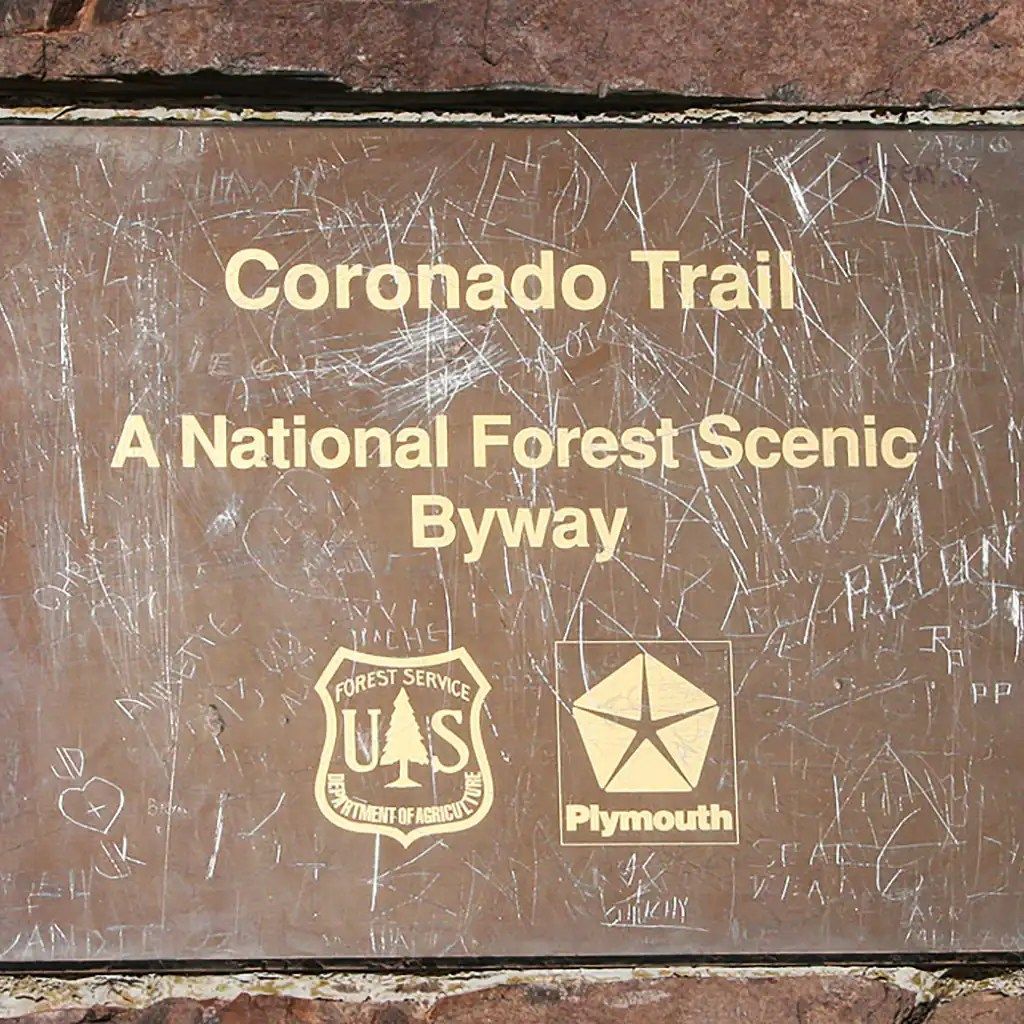
Coronado Trail Scenic Byway
Length: 123.0 mi / 197.9 km
Time: Four to five hours of driving time, including over 400 switchbacks
Fees: The road is free, but some campgrounds charge fees.
The Spaniard Francisco Vásquez de Coronado became the first known European to lead an expedition into the USA when, in 1540, he and a large group of settlers crossed the Mexican border near the Huachuca Mountains, site of the present day Coronado National Memorial. From here they headed northeast, over the White Mountains in the east of the state and then, after side trips to Hopi land and the Grand Canyon, continued through New Mexico and into Kansas.
Their route through Arizona coincides largely with US 191 (formerly US 666), with the 123 mile section between Clifton and Springerville being named as the Coronado Trail to commemorate the exploration though, as with the national memorial, there is no visible trace of the expedition. Instead, the route is a showcase for the varied and spectacular scenery of eastern Arizona, from the Sonoran Desert grasslands and valleys of the southeast corner to the steep and heavily wooded White Mountains. It then descends into the more barren lava fields and red plains of the Petrified Forest region before reaching the sandy expanses of the Navajo Indian Reservation.